
Cat Ba Beyond · Cat Ba National Park & Trekking
Is Trekking in Cat Ba Difficult?
Cat Ba offers everything from a two-hour forest walk to a demanding journey across limestone mountains. That is why asking whether trekking in Cat Ba is difficult has no single answer: the experience depends on the route, weather, preparation and your fitness level.
For most travelers, trekking in Cat Ba is manageable. However, the terrain should not be underestimated. Steep stone steps, exposed roots, sharp limestone and high humidity can turn a short distance into a surprisingly physical adventure.
Which Cat Ba trekking route is suitable for beginners?
The Kim Giao Forest–Ngu Lam Peak route is the best introduction for travelers with little trekking experience. Beginning inside Cat Ba National Park, the path first follows a relatively gentle section beneath the forest canopy before climbing towards Kim Giao Forest and Ngu Lam Peak.
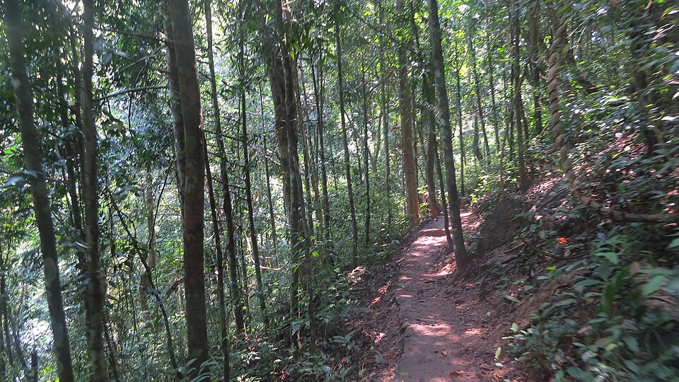
Ngu Lam Peak stands approximately 225 metres above sea level. Depending on your pace and where the distance is measured, the return journey generally requires around two to three hours. The route is short enough for a half-day itinerary but still includes steep steps, uneven ground and narrow limestone sections.
You do not need specialist climbing skills. Anyone with average fitness who can walk uphill for an extended period should be able to complete it with sufficient rest. The challenge is usually not the distance but the combination of humidity, heat and steep terrain.
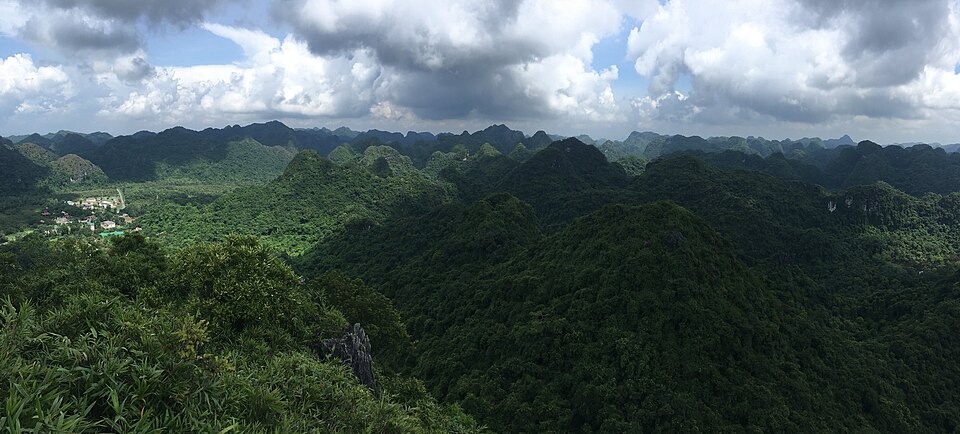
At the viewpoints, clear weather reveals layers of forest-covered limestone mountains across the island. Visibility may be limited on misty or rainy days, so check the forecast before choosing the route.
Is the trek to Viet Hai more difficult?
The cross-forest route towards Viet Hai Village is considerably more demanding. Local tourism guidance describes approximately 10 kilometres through forest; walking time varies with trail conditions, rest stops and the group’s pace, so plan this as a full-day outing rather than relying on a fixed four-hour estimate.
The landscape includes dense forest, rocky slopes, natural paths and uneven limestone terrain. Unlike the Ngu Lam route, this is not simply an ascent followed by a return along the same trail. Transportation from the finishing area must also be planned in advance.
This route suits active travelers with good stamina and some previous hiking experience. An experienced local guide is strongly recommended—not only for navigation, but also for managing time, monitoring weather and arranging onward transportation.
A knowledgeable guide can also explain the forest ecosystem, island history and local life around Viet Hai. That context transforms a physically demanding walk into a more meaningful experience.
Why does rain make trekking harder?
Cat Ba has a humid coastal climate. Even without rain, forest paths can feel damp and warm. After rainfall, leaves, roots and limestone surfaces become slippery. Water may also collect on lower sections of the trail.
A short route that feels moderate in dry conditions can become much harder during or immediately after heavy rain. Travelers should not continue simply because the trek was booked in advance. If conditions are unsafe, changing the route or postponing the walk is the sensible decision.
Morning departures are generally preferable. Temperatures are often more comfortable, and starting early provides more daylight if the group moves slower than expected.
What should you wear?
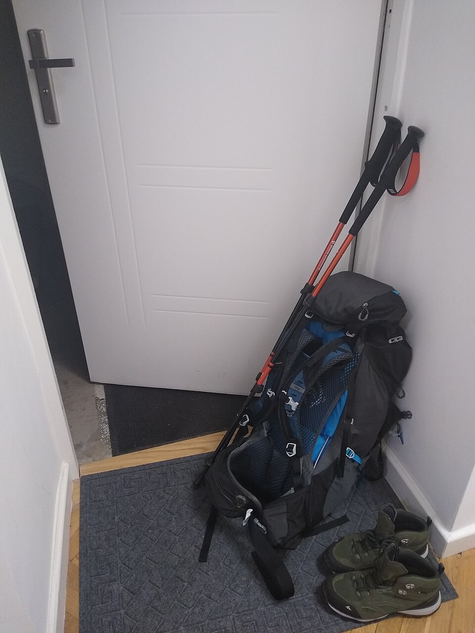
Shoes are the most important part of your preparation. Fashion sneakers with flat or smooth soles provide little support on wet stone. Choose trekking shoes or sports shoes with reliable grip.
Wear lightweight, quick-drying clothing that allows easy movement. Long trousers can help protect your legs from vegetation, insects and sharp rocks. Bring a light rain jacket rather than a heavy coat, especially during warmer months.
Your daypack should contain:
- Enough drinking water
- A snack or energy bar
- Insect repellent
- Sunscreen and a hat
- A small first-aid kit
- A waterproof bag for your phone and camera
For the longer Viet Hai route, carry more water and food than you would for Ngu Lam. Approximately one to two litres of water per person can be a starting point for longer forest journeys, adjusted for heat, duration and personal needs.
Who should be more cautious?
Travelers with knee problems, limited mobility, poor balance or cardiovascular conditions should consider the terrain carefully. Descending steep steps can place more pressure on the knees than climbing them.
Families with children can choose the shorter trail, but parents should consider the child’s experience and confidence on uneven ground. The longer cross-forest route is generally unsuitable for very young children unless they are experienced hikers and conditions are favourable.
Older travelers do not automatically need to avoid trekking. Fitness and mobility matter more than age. A slower pace, regular rest stops and an appropriate route can make the experience both safe and enjoyable.
Do you need a guide?
A guide is not always necessary for the standard Ngu Lam trail when the route is open, clearly marked and weather conditions are stable. For longer journeys through the national park, hiring a local guide is the safer and more rewarding option.
Guides can assess the group’s pace, identify difficult sections and coordinate transport at the end of the trek. They also provide information that signs alone cannot: how local communities have used the forest, which plants are significant and how conservation affects life on the island.
So, how difficult is trekking in Cat Ba?
The Ngu Lam route is moderately challenging but achievable for most reasonably active travelers. The route to Viet Hai requires better stamina, preparation and guidance. Weather can increase the difficulty of either trail considerably.
The biggest mistake is not being unfit—it is choosing a route based on photographs rather than your ability. Select the right trail, start early, wear suitable shoes and remain flexible when the weather changes.
Cat Ba Beyond can help match your available time and fitness level with an appropriate trekking route, local guide and transportation plan.